The
Ayapua works up river throughout the year during the different seasons and
where she moors is always dependent on the river level. We were visiting during
the dry season and then it is not always possible to go beyond the river mouth
that we were heading for. On this occasion, the river was high so we travelled
further up river to tie up at a Ranger Station that we had not expected to
reach. It was good to be there as it sited us nearer the survey areas and so
less time was needed travelling in the small boats before the surveys could
commence. The Ayapua was driven into the thick mud alongside the Ranger Station
and tied up. A narrow gangplank was laid across to the steps leading up to the
station.

As
the water level was unusually high, evidence of climate change, a large pole
was driven into the mud at the side of the boat and the present water level
marked with red tape. This needed to be checked every day as if the level fell, we would have to
leave to avoid being stranded.
Before
I get to the point where I introduce you to the amazing animals we met, not
least the pink dolphins that really are pink, I need to explain the survey
systems, how they are carried out and what their purpose is.
We
took part in three different types of surveys – Indicator Species Surveys,
Resources Species Surveys and an ecological study in relation to climate
change.

Dolphins
are the indicator species of the aquatic environment. It is important that the
species surveyed is not affected by humans. Dolphins are ideal as there is a
strong dolphin taboo that means they are not hunted. The indigenous people feel
they are almost human. There are tales of the dolphins sometimes taking on
human form and stepping out of the water. It is said that they are very
attracted to the young girls and make them pregnant. The dolphin population is
very healthy, there are many and they are easy to count (well maybe not that
easy as they pop up all over the place and so you don’t know whether you have
already just counted it or whether it is a new one!) if anything is wrong with
the aquatic environment, the dolphins will move away.
The
survey method used is s line transect. The boat travels a set distance along
the river between recorded points and the dolphins seen are recorded and their
behaviour is observed. The data recorded includes species – pink or grey, GPS
location, number in group, group composition (infant, juvenile, adult) and
behaviour – feeding, travelling, resting, playing or mating (indicated by
turning around with their nose out of the water with a stick held in their
mouth, which we did observe.)
The
main difficulty was in knowing whether you had already counted the dolphin you
had just seen, were there 3 dolphins you had seen twice or were there 6
individuals? Also, once you had encountered a group they would follow you and
come along for the journey making it very difficult to know if and when you encountered
a new group.
The
wading bird survey indicates fish migrations and populations. There is little
human pressure although sometimes the egrets are hunted and so this has to be
noted. I enjoyed this survey very much but it was very difficult. The boat
would slowly travel down river and any bird on a set list that was seen was
recorded. Most of the birds I had never seen before so identification was the
first problem. When there was one bird, such as a kingfisher flying past, that
was no problem (other than knowing which kind of kingfisher it was) but when
you were passing a stretch of trees along the river bank sheltering up to
20,000 cormorants all of which needed recording . . . . need I say more?

We
were looking for 23 species in all. All of these birds consume a massive amount
of fish per day so the number of birds present indicates the fish presence.
The
third indicator species survey was the macaw survey which is indicative of the
forest environment. Macaws are fruit eaters. If the fruit crop is poor through
problems with the forest environment the macaws will leave. Any significant
drop in their numbers will be indicative of problems. The indigenous people do
not have any effect on the population numbers as they do not hunt them.

The
survey method used is a point count which is an abundance measure. Three
species of macaws are recorded; red-bellied, blue-and-yellow and chestnut-breasted.
The boat travels 500m along the river and then ties up for 15 minutes. Any
macaws flying over are recorded. Macaws are very noisy and so are usually
detected by sound before sight. They often fly very high so sound is also used
to identify the species. The boat then moves 500m further along the river
before again sitting for 15 minutes.
The
resources species are animals used by the indigenous people. They need to be
sustainable so it is important to keep data to help determine whether
sustainability is being achieved and maintained.
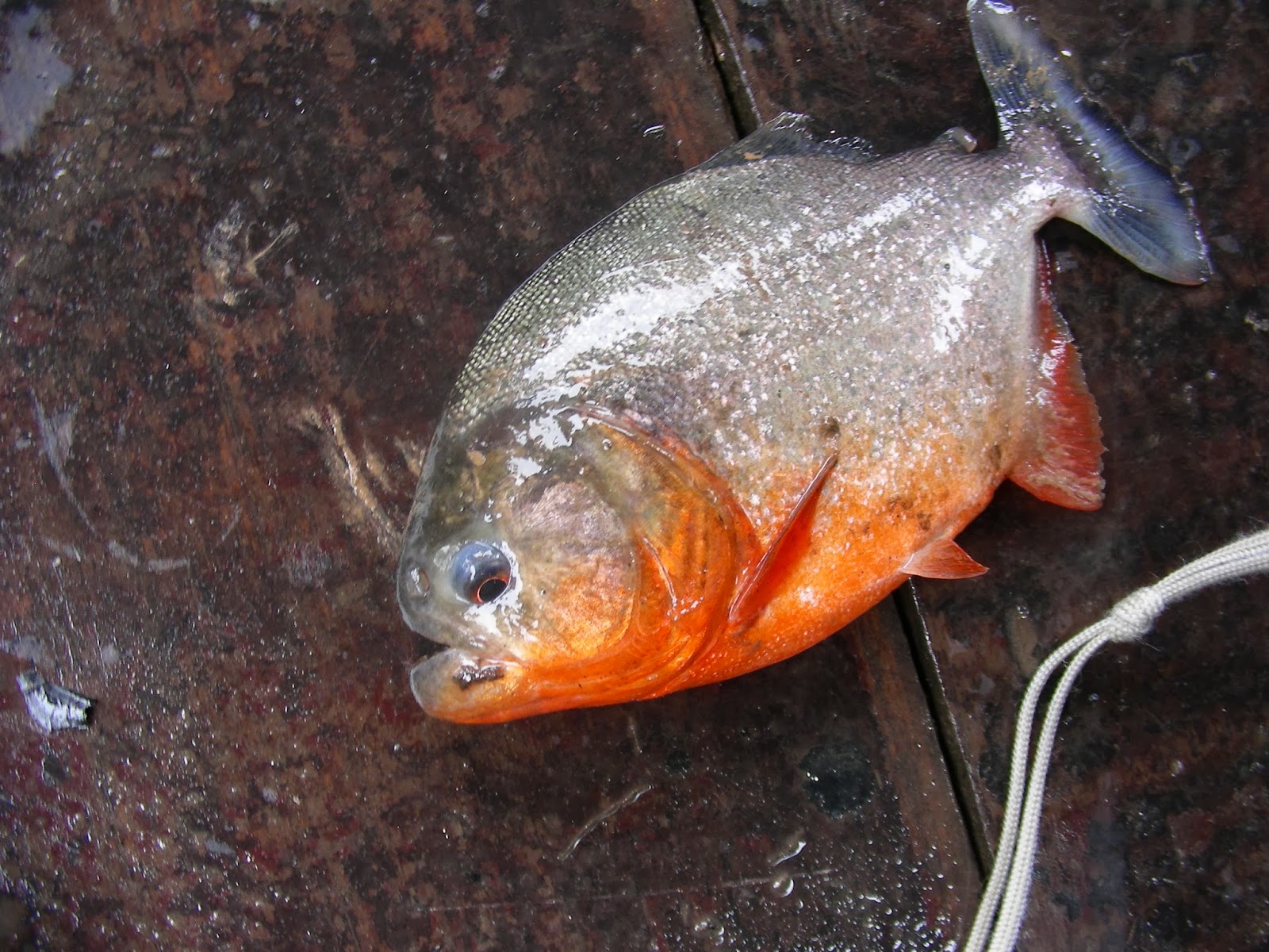
Fish
sustainability is measured in catch per unit effort. Fishing is undertaken in
the same ways that the indigenous people use. A 30m long, 3m deep net with mesh
of 3 inches is laid out for exactly one hour and then the catch is identified,
measure, weighed, recorded and released. During this hour rod fishing is
carried out using a 5 foot pole with 5 foot of line with a hook on the end.
Again all the fish caught are identified, measured, weighed, recorded and
released.

The
second sustainability survey was for caiman. The caiman population has been
greatly reduced through hunting but is now slowly recovering, although we saw
very few and only small ones. There are three different caiman, black, smooth
and spectacled. The caiman survey is carried out after dark. The boat covers a
set distance, a spotlight being trained on the river’s edge to pick up
reflections from the eyes of any caiman present. Once a caiman has been spotted
the boat is brought into shore. If the caiman dives and swims away, the
observer records the species and estimates the length. If the caiman is still
there, it is caught by using a noose on the end of a pole. Once caught its jaws
are taped closed. If it is large enough to be able to escape its legs are tied
because if it were to escape with its jaws taped it would die. The data
collected are species, weight, length, sex and GPS location.

The
third sustainability survey was the terrestrial transect which is aimed at bush
meat sustainability. There are set routes through the forest, about 3km in
distance, which are walked at a pace of about 1km per hour, undergrowth and
flooding allowing. Any animals sighted are recorded, the GPS location noted and
the perpendicular distance from the track estimated.
Climate
change
We
had already experienced one effect of climate change, we were further up the
river than we expected to be and as the water level didn’t drop we moved ever
further up the river. As the Samiria-Pacaya National Park is an area of flooded
forest, climate change can have a huge effect on both the animals and the
people. During the dry season, large swathes of land become terrestrial which
had been aquatic during the wet season. People, animals and plants rely on this,
for instance, the turtles need the exposed beaches in the dry season for laying
their eggs and the people use the exposed land for their crops. This year, as
the water was unnaturally high, the turtles had so far been unable to lay any
eggs. Data from animal observations and behaviour can add to the knowledge as
to the effect climate change is having and to inform possible future
mitigation.

The
animal survey undertaken on this expedition was frogs. The survey was looking
at the diversity of species in relation to habitat, type and season. The floating
vegetation survey is undertaken after dark. The boat is driven hard onto a
patch of floating vegetation (water hyacinth, river lettuce, grasses). With the
aid of torches, frogs are collected from a 2m stretch along both sides of the
boat. Each frog is photographed, identified, sexed if possible, weighed and
measured before being released. The distance from the edge of the trees is
recorded as is the distance from the boat and the height above the water
surface. Each floating vegetation site is worked for 15 minutes.
Terrestrial
frog transects are also undertaken in much the same way as the animal transects
but the frogs are actively searched for into the leaf litter or the flooded
areas. The same data are recorded.
No comments:
Post a Comment